This challenging yet achievable ride starts and finishes in the Cotswolds. The punishing climbs of Exmoor and Dartmoor are the real highlights of the route, but it squeezes in plenty of scenic riding, ranging from dramatic Dorset coastlines to quaint Cotswold villages.
The relatively lenient cut-off means that it is the perfect event for anyone new to the world of ultra-endurance. Equally, veterans of the sport will find that the consistent 20%+ gradients offer a different kind of challenge, making the route particularly difficult if you set out too hard.
Entry fee: £170 per rider*
Start: Friday 8th May 2026
Registration: Thursday 7th May 2026
*We also ask for a donation of bike parts to The Bike Drop to support their work restoring second-hand bikes, but this is optional

About The Wild West Country
- Registration and briefing will be on the afternoon of Thursday 7th May 2026
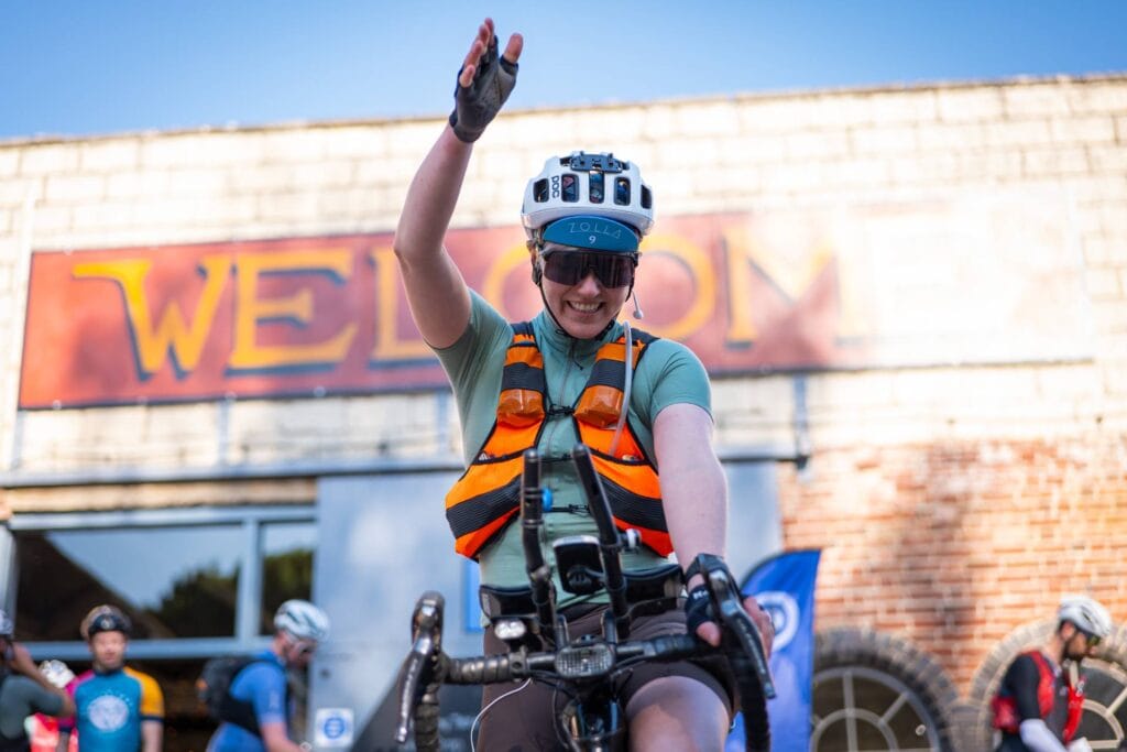
- Starts on morning of Friday 8th May at The Bike Drop in Brimscombe
- The route is just over 800 kilometres with 11,000 metres of climbing
- This is a single-stage unsupported ultra-endurance event
- There will be a series of unmanned selfie checkpoints along the route, plus one manned checkpoint
- Live tracking will be provided by Follow My Challenge using GPS trackers
- The finishing cut-off is 20:00 on Tuesday 12th May
Overview of the Route
Bristol and Quantocks
Begin in Brimscombe, close to Stroud, and head south. After an hour or so, quickly drop off the Cotswold Escarpment, and onto the Severn floodplains. Skirt the outskirts of Bristol before entering the city and crossing the iconic Clifton Suspension Bridge.
From here, tackle the Mendips and Cheddar Gorge, before you quickly move on to the Quantock Hills. The arrival of these short, sharp climbs marks the start of the climbing proper. Test your brakes and preemptively apologise to your knees, before pressing on.


Exmoor
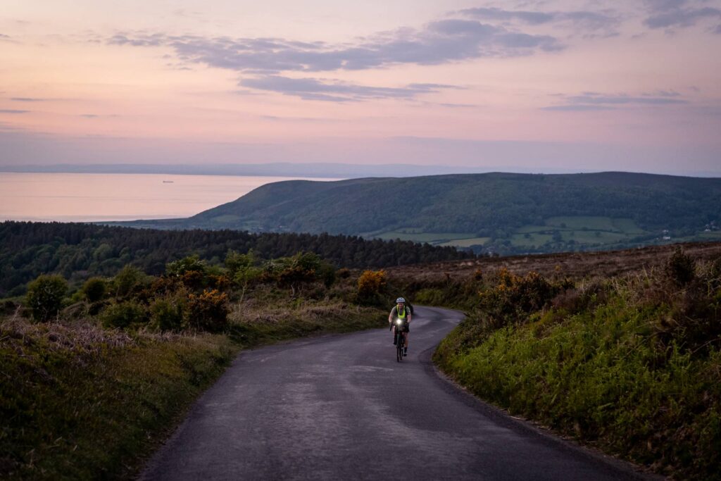
Tackle Dunkery Beacon from two sides, then take on the beautiful Porlock toll road (those who prefer can take on the more notorious Porlock Hill). From the top, the views are spectacular, but you will feel like you have earned them.
The stunning descent into Lynmouth takes you down to the sea before you climb your way back across to Woolacombe. After tackling Challacombe Hill, some respite comes in the form of the Tarka Trail, with its traffic-free gentler gradients.
Checkpoint
New for 2025, we will have a manned checkpoint just after Tavistock, a few kilometres into Dartmoor. This quaint cottage was an old school and sits in a tiny hamlet, with sheep and ponies wandering across the moor in front.
While it’s a little too small to accommodate riders who want to sleep, it will offer somewhere to fill bottles, quickly charge devices or grab a brownie. And just as importantly, it gives a tangible halfway point to aim for.


Dartmoor
From the checkpoint, head further into Dartmoor, tackling a succession of the most challenging climbs, including Dartmeet and Widecombe. Pass through gorse-dotted moorland with its rocky tors as the famous ponies graze beside the road.
Finally, cross Haytor Vale and drop into Bovey Tracey, where gentler riding resumes as the route transitions from moorland to coastline via Exeter.
Southern Coast and the Purbecks
From Exeter, follow the coastline as you wind your way back east. Climbs like Sidmouth will test the legs, but it is the repetitive up and down of this rolling section that really begins to bite.
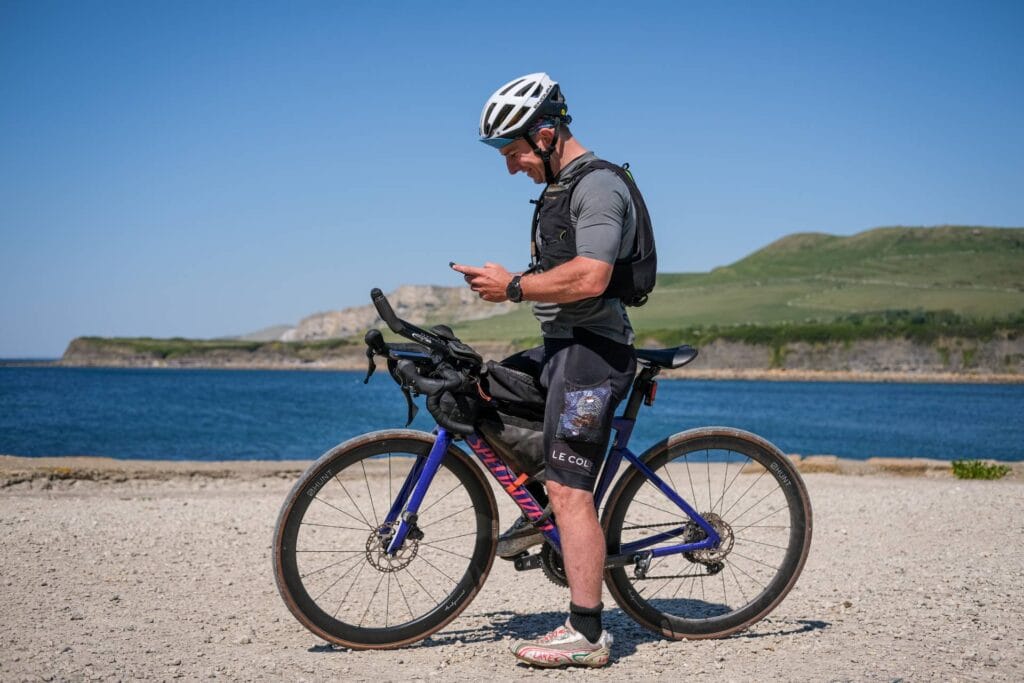
Reach the Isle of Purbeck, dropping from ridgetop roads to follow ever smaller lanes as you descend towards to sea. Finally, reach the private toll road that takes you down to Kimmeridge Bay. Capture a quick selfie with the waves behind before heading north.


Back towards the Cotswolds
Leave the coast for the final time. As you pass Salisbury, faster and easier riding arrives – a precious relief after the tough coastal miles. Fly through Avebury, passing between the stones that encircle the village.
Finish with a short loop of the Cotswolds, taking in the picturesque Coln Valley. Arrive back in Brimscombe, where you can promptly swear never to touch a bike again…
What is Included?
Entry into the event
GPX route file
Detailed rider manual (provided around 6 weeks before)
Live GPS tracking (including tracker) throughout via Follow My Challenge
Registration and briefing at the start
Numbered cotton cycling cap (2026 design)
Finisher’s t-shirt
Start and finishing checkpoints at The Bike Drop in Brimscombe
Halfway checkpoint in Dartmoor
Carbon offsetting against any emissions associated with running the event
£75 off any purchase of a Zolla wheelset
Copies of all event photos for personal use
*Your entry pays forward a meal for someone in the local community via The Long Table*
Route Map
This is a provisional route and may change. The final route will be sent to you around six weeks before the start.
FAQs
You say this is perfect for newcomers to the sport, so why have you put so many challenging climbs in it?
It’s commonly thought that making a route flatter is the best way to make it more accessible. And whilst there is some truth to this, it overlooks why you would take on a challenge like this in the first place. Flat riding is generally less rewarding, less varied and less beautiful. The gradients of Exmoor and Dartmoor will test you, but the views are worth the effort. In between, the route mixes in some gentler sections, allowing you to recover before the next batch of climbs.
When you reach the finish, you will probably feel like you have conquered every 20+% gradient in the South West. But you should also feel as if you have soaked in every sweeping coastal vista, gorse-dashed moorland and golden dawn. That feeling of achievement is something that the Wild West Country route will make you earn, but it wouldn’t feel as sweet if it didn’t.
Believe it or not, the route could actually contain more hills, so we have exercised some restraint. But it is the length, lenient cut off and logistical convenience that makes the Wild West Country a good choice for newcomers. We firmly believe it acts as a natural stepping stone to more challenging events. And having seen several riders go on to finish ultra-endurance epics like the Transcontinental, it seems to be working.
What does unsupported mean?
It means that you can make use of any publicly-available commercial facilities during your ride e.g. shops, hotels etc. Or you can use items that you brought with you from the start. You cannot rely on any help that would not be available to all riders e.g. staying with friends, assistance from other riders or supply stashes.
How many entries are available?
The number of available places is 60.
We limit our entries to a lower level than many other events. There are a few reasons that we do this. The rule of thumb has always been that we need to be able to remember everyone’s name and, therefore, this dictates the maximum number of riders. But beyond this, we also consider logistical constraints, as well as the desire to ensure we photograph all riders, ideally multiple times along the route.
How does the lottery work?
You can read about that here.
Can I leave a bag at the start?
Yes, The Bike Drop have kindly agreed to store a bag for you. We will give you a label to put on your bag at registration.
Where is the nearest train station?
Stroud is the nearest station and this is less than 15 minutes away by bike. This is also the best place to park during the event if you’re looking for a long-stay car park.
What gearing do you recommend?
This is very much a personal preference, but more gears would be no bad thing. Gravel gearing to tackle the extremely steep gradients proved to work well last year, with several riders going for this. If you take standard road gearing then you will be climbing out of the saddle a lot, so you need to be comfortable doing this.
Can I use my own tracker?
No, for simplicity’s sake (and to avoid using disposable batteries) we will only be using Follow My Challenge’s Queclink trackers.
Can pairs enter?
Yes, we have solo and pairs categories for all our events. When you enter, you can choose which you want to register for and will have the opportunity to say who your other half is if you’re entering as a pair.
Some other events have discounts for pairs, but please note that we don’t offer this. Our pricing is simply based on our costs and there are no cost savings for us if you enter as a pair.
What kind of bike can I use?
You will need a regular commercially available solo* upright bike. However, it’s important that it is suitable for the kind of riding that the event will entail, since our routes are designed to be challenging. The right equipment is required to ride them safely and to minimise risk. For example, that means your bike needs to have brakes capable of handling steep, sustained descents. If you have any concerns that your bike may not be suitable/appropriate, please get in touch and we will be happy to advise.
*Tandems are also permitted for TPA and WWC, but you will be placed in a separate category rather than the pairs one.
Can I book accommodation along the route in advance?
Yes, you can! We know that some events restrict this, but we don’t. There are several reasons for this, but it is partly to help reduce costs for riders and make things less daunting for those with less experience. For those looking to push themselves, pre-booking accommodation rarely works and often becomes a hindrance rather than a help. Therefore, we find it is normally only less experienced and less competitive riders who take advantage of this rule.
Can I use the photos taken during the event?
Yes! Everyone who takes part will be sent an album of all the photos taken during the event. This is typically several hundred and will include not just the best photos but a wide variety. We realise that a photo may have significance or importance to a rider beyond its pure aesthetics, so we try not to be too selective with our editing.
You are welcome to use these photos for personal use, which includes personal social media and personal blogs. Please credit The Perfidious Albion when you do this. You cannot use these photos for any kind of commercial use. However, we grant exceptions to this on a case-by-case basis for business blogs and social posts. Please ask for permission if you would like to do this.
Will friends and family be able to follow me during the event?
Yes! There are several ways that people can keep up with your progress during the event. You will have a GPS tracker provided by Follow My Challenge and this will be linked to a webpage, which we will share in the week before the start. Here, your dot will be visible and people will be able to follow your progress along the route.
As well as this, our team will be out on the route getting photos, videos and insight from all the riders. Our aim is to try and cover the whole field, meaning that everyone is intercepted at least once. A selection of photos and videos will be published as posts and stories on our Instagram account several times a day during the event, accompanied by brief updates on riders’ progress.
Finally, we have also teamed up with DotWatcher to provide in-event commentary on their site, accompanied by an embedded version of the event tracking map. Here, a commentator (either a volunteer or one of the team) will take you through each day’s events, giving an overview of riders’ progress as well as sharing any tales from the road.
Is this a race?
You may have noticed that we don’t describe any of our events as races. There are a few reasons for this, but the key thing is that we don’t want to define success or failure for you. For some people, just finishing is the main challenge. For others, they will have a set time goal in mind. Then some of you will think you aren’t competitive until you get sucked into an arduous day-long battle for mid-pack places. And, finally, there will be those that simply want to be first across the line.
Basically, whatever we call this event, you will probably ride it the way you perceive it anyway. The most important thing to remember is that it is just you against the route. Embrace this battle, see what the weather and mechanical gods throw at you along the way, and we’ll see you at the finish.
Because it’s not a race, what should I expect to be different?
As this isn’t a race, we really put the onus on riders to self-police when it comes to respecting the rules and being self-supported. We’re happy to advise and will definitely clarify any ambiguity for riders. But in the end, we’re all adults and there are no prizes, so there is a mutual understanding that the only person you’re cheating is yourself if you don’t respect the rules.
One of the areas that has come into focus in recent years is how strictly events define riding as self-supported. Because our events aren’t races, we intentionally take a slightly more relaxed view and stick to a definition that focuses on avoiding actions that gain a definite advantage, such as drafting, stashing kit etc. We are less worried about actions that could have a potential advantage, such as riding together for a couple of hours or pre-booking accommodation. Of course, we respect that races feel the obligation to prohibit these things and riders should be aware that different events have different rules.
Will you provide info on resupply along the route?
No! We will highlight where resupply options may be limited and will provide a general overview of the route in the rider guide that flags things like this, as well as other potential hazards. But we believe that thoroughly researching the route and doing your own preparations for the ride are an important part of the sport, as well as fitting within our definition of what self-supported means.
Plus, from a safety perspective, we think it’s important that riders familiarise themselves with the route and identify what kit they might need and how much food they should carry.
Where does my entry fee go?
There are some fixed costs associated with running events e.g insurance, web hosting etc., so a small part of the fee covers these. A larger part then covers things like trackers, caps and t-shirts. And then most of what is left (typically the majority with all our events) is used to pay for coverage and photography during the event. This includes logistical costs such as accommodation and transport, as well as staff costs. The final cost, which varies between events, is any start, finish and checkpoint fees that need covering.
It is worth noting that anyone paid during our events is only paid based on days worked, so there is no incentive to make our events more profitable. This means we usually invest in more photography (or a checkpoint during TPA23!) if we feel our budget can be increased. Any profit we do make is either reinvested into the events or given to charity. In 2023, we donated £300 to the bike project at Swindon Welcomes Ukraine.
Join Wait List
WWC26 is full, but the wait list is now open. You can join by submitting your details below.


